Marine equipment
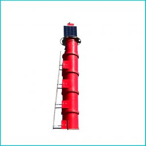
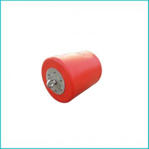
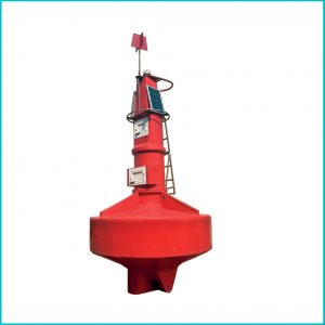
Marine navigation marks are devices that sailors use in order to find the safe course of their movement. These marks are placed at various points along the coast and in shipping lanes to determine the safe route to land and invisible dangers. be These marine equipment signs are designed and produced in such a way that they can be easily seen and heard. In some cases, marine navigation aid signs are also
equipped with detection and radar devices.
These signs are divided into 6 categories: Lateral signs: These signs are used to specify the boundaries of waterways and canals to enter ports. This sign is divided into two groups, A and B. Iran is part of A. In the waterways of areas A, when entering, the position of the vessel should be red on the left side and green on the right side. It is obvious that the departure time of this sign is the opposite. This sign is divided into four categories: north-south-east-west. If any of these signs are in the sea, it means that the vessel must pass on the same side as the cardinal sign.
Separate danger signs: This sign is to warn the vessels that there is an unsafe area in that area, such as a sunken vessel or a shallow depth warning. So the navigator must keep a safe distance to the signs to avoid accidents. Safe water signs: These signs are usually to inform the navigator that it is safe to be in the anchorage area near each port. Passing around these signs is unimpeded.
Signs of a special area: if an area in the sea is restricted for different activities, and the vessel is not allowed to enter this area, such as the area that is considered for military maneuvers. Signs related to a vessel that has just sunk. Done: This mark is used when a vessel has recently sunk but has not yet been marked on the map. This sign is used to quickly declare the danger of drowning in the place until the exact location on the map and the depth of the water are determined.


